 geo.be Metadata Catalog
Resolution
30 m
Type of resources
Available actions
Topics
INSPIRE themes
federalThemes
Keywords
Contact for the resource
Provided by
Years
Formats
Representation types
Update frequencies
status
Resolution
From
1
-
1
/
1
-
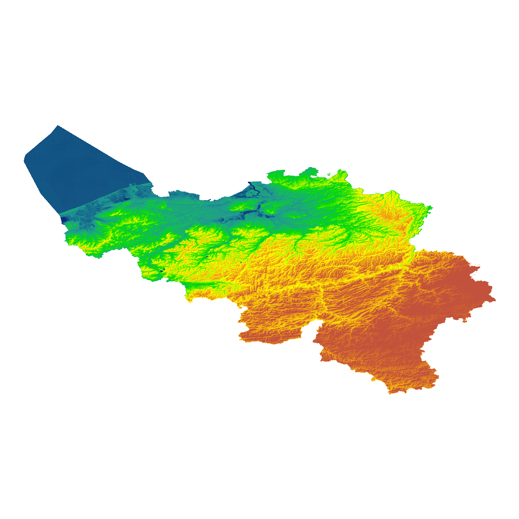
The eTOD digital terrain model (DTM) is a homogeneous and regular point grid indicating the elevation of the ground level in order to make a model of its surface. This DTM is obtained by resampling raw altimetric source data from the Flemish and Walloon Regions, grouped in Lambert 72 and with a resolution of 1 m; as well as data obtained internally by direct photogrammetric recording of structure points and lines based on the most recent aerial photographs for all areas not covered by regional data. For this DTM, the resolution and coordinate reference system are used as defined by the eTOD specifications.